Buying or selling in Weatherford and not sure if you really need a survey? You are not alone. Fences, driveways, and even old plat lines can look clear until a title officer or lender takes a closer look. In this guide, you will learn when to order a survey, which type fits your property, the Weatherford-specific easements and encroachments to watch for, and how surveys affect title and closing. Let’s dive in.
What a survey shows in Weatherford
A property survey maps your parcel’s boundaries, corners, and visible improvements like the house, driveway, shop, or pool. It also identifies recorded items such as plats and easements and flags encroachments that are visible on the ground. For buyers and sellers, this means fewer surprises and a smoother path to closing.
In Weatherford and greater Parker County, surveys carry extra value because of the mix of historic in-town lots and newer subdivisions, plus semi-rural and acreage tracts. Utility, drainage, and pipeline easements are common. With rapid regional growth, many properties have seen changes since an older survey was completed, so verifying the current conditions matters.
When to order a survey
You should plan for a survey early in your contract period, ideally during inspections. Common triggers include:
- You have a mortgage and the lender requires specific survey standards or an ALTA/NSPS survey. Requirements vary, so confirm during loan application.
- The seller cannot provide a recent, signed boundary or ALTA survey, or the existing survey does not match the deed.
- The property is large, irregular, rural, or recently split. Older metes and bounds descriptions often need a fresh boundary survey.
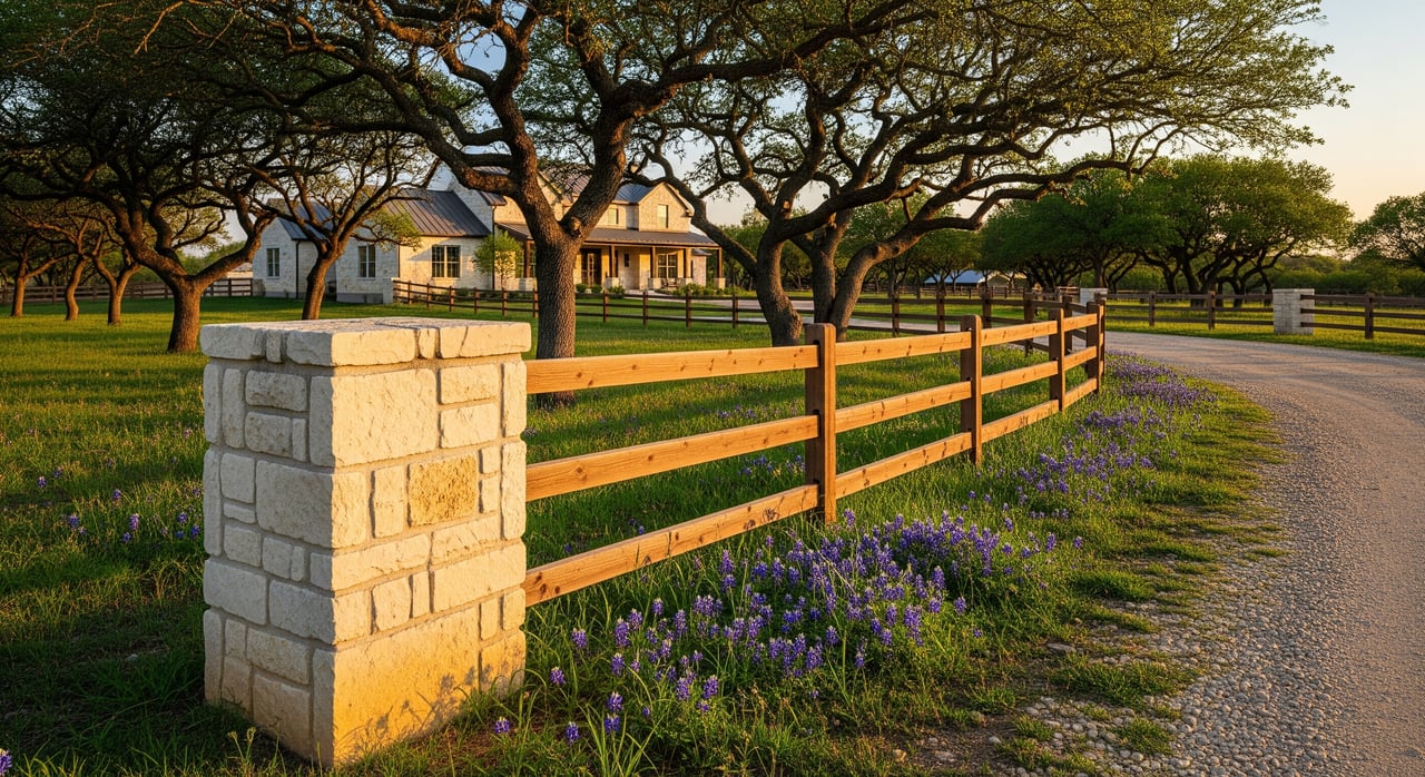
- You suspect fence or driveway misalignment, or you see sheds, porches, or slabs near a boundary.
- You plan new construction or permits for items like a pool or septic system. Many reviews require a survey or site plan.
- The title commitment lists easements or exceptions that are not clear on the ground. A survey helps confirm their location and scope.
- You are creating or adjusting a boundary, subdividing, or granting an easement. A survey provides the legal descriptions and plats.
Ordering early protects your timeline. Unresolved survey issues can delay closing or change how the title company issues the policy and endorsements.
Choose the right survey type
Different survey types serve different needs. Ask your lender and title company first so you order the right product.
- Boundary survey. Locates property lines, corners, and improvements relative to the lines. This is common for standard residential deals when there is no lender requirement for ALTA.
- ALTA/NSPS Land Title Survey. Prepared to national standards typically requested by lenders for commercial loans and some residential mortgages. It shows more detail, including recorded easements and access, and can include client-selected items.
- Improvement or topographic survey. Adds elevations and contours. Used for construction, drainage planning, or site development.
- Mortgage or lender survey. A simplified product that may satisfy a specific lender. Standards vary by lender, so confirm in writing.
In Weatherford, a boundary survey often fits a typical subdivision lot when the lender does not require ALTA. For acreage, irregular parcels, or complex history, a full boundary or ALTA survey by a Texas-licensed surveyor is the safer choice.
Common easements and encroachments locally
Surveys commonly reveal both recorded and on-the-ground issues. In Parker County, you will frequently see:
- Utility easements for electric, water, sewer, or gas. Often along rear or side lot lines.
- Drainage and stormwater easements designed to keep runoff moving across lots.
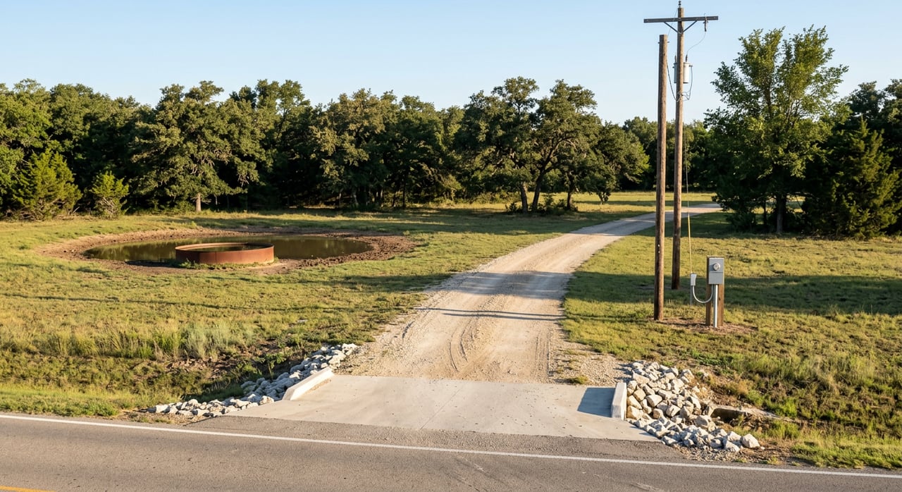
- Road or access easements for shared driveways or private roads, especially in rural areas.
- Pipeline easements that may cross acreage tracts.
- Telephone and cable easements and franchise corridors.
Unrecorded conditions can also show up, such as fence lines that do not match deed lines or neighboring structures that cross the boundary. Older metes and bounds descriptions sometimes overlap or leave gaps, which a survey can identify. A survey map will reference the recorded instruments and show the location of easements and improvements. The surveyor’s certification notes the standards used and any limits if title documents were not provided.
If an encroachment is found, you have options. You may negotiate an easement or license agreement, move the improvement, adjust the boundary, request a title endorsement, or in some cases pursue legal action. Your title company will guide what they need to insure the transaction, and an attorney can advise on legal remedies.
Title insurance, commitments, and your closing
Your title commitment lists recorded exceptions in Schedule B, including easements and restrictions. A current survey helps confirm where those exceptions lie and whether new encroachments or issues exist. Title companies may require a survey to issue the final policy and to offer certain endorsements. If the survey reveals something significant, the title company may require a fix, an endorsement, or an escrow arrangement before closing.
Existing surveys can sometimes be used if they meet lender and title standards and if the property has not changed. “Current” is not a fixed number of years. Acceptance varies by title company and lender, so you should confirm early to avoid delays.
Unresolved boundary or title matters can delay funding. Ordering the survey during the option or inspection period gives you time to address anything that pops up without missing your closing date.
Step-by-step plan and timeline
Here is a simple plan to keep your closing on track in Weatherford:
- Confirm requirements
- Ask your lender which survey standard they require, and ask your title officer what they will accept.
- Review your contract to see who is responsible for ordering and paying for the survey.
- Engage the right pros
- Hire a Texas Registered Professional Land Surveyor with Parker County experience.
- Loop in your title officer or closer and your lender so everyone aligns on scope and timing.
- Provide documents
- Send your surveyor the current deed or legal description, any prior surveys or plats, and your title commitment or Schedule B if available.
- Review deliverables
- Expect a signed and stamped map that shows bearings, distances, corners found or set, improvements, recorded easements, and any encroachments located.
- Ask for a written certification that states the standard used and any limits.
- Request digital files if you want a PDF or CAD version.
- Build a realistic timeline
- Typical residential boundary surveys take about 1 to 3 weeks, depending on workload, access, and research needs. Acreage or complex histories may take longer.
- Costs vary with lot size, terrain, standards required, and title research. Get local quotes instead of relying on national averages.
Buyer and seller tips
- Do not assume a fence marks the legal boundary. Verify with a survey.
- If you receive an older survey, ask the title company and lender if it still works for this transaction.
- Order your survey early. If issues arise, you will have time to fix them or adjust terms.
- Choose a local, licensed surveyor who knows Weatherford and Parker County records.
- Call 811 before any digging if your survey leads to excavation work or boundary improvements.
Weatherford resources to know
- Parker County Clerk for recorded plats, easements, and deeds.
- Parker County Appraisal District for parcel and ownership information.
- City of Weatherford Planning and Development for plats, subdivision maps, and permits.
- Texas Board of Professional Land Surveying and Texas Society of Professional Surveyors for licensing and standards.
- ALTA or NSPS standards for ALTA/NSPS Land Title Surveys used by many lenders.
- FEMA flood maps or county floodplain maps if you need floodplain checks.
How we can help
Survey decisions are part of a bigger closing strategy. We help you order the right survey for your property type, coordinate with your lender and title company, and keep your timeline on track. Whether you are buying a starter home near town or selling a multi-acre tract, we can guide you through what matters and when to act.
If you are planning a move or listing in Weatherford or Parker County, connect with the local team that treats your transaction like their own. Reach out to the Lori Mayo Real Estate Group to get started.
FAQs
Who pays for a property survey in a Weatherford home sale?
- It is negotiated in the contract, and practices vary, though many buyers purchase a new survey for their protection.
How recent should a survey be for a Weatherford closing?
- There is no single rule, since acceptance is set by the lender and title company, but many parties prefer a recent survey if changes occurred.
Will a survey show septic systems or a well on my Parker County property?
- Surveys show visible improvements, and many surveyors will locate septic tanks or wells if requested or visible, so ask for these items in the order.
What if my Weatherford survey shows a fence or driveway encroachment?
- Options include negotiating an easement or correction, moving the improvement, seeking a title endorsement, using escrow, or consulting an attorney.
Can survey issues delay my closing in Parker County?
- Yes, unresolved boundary or title matters can delay title policy issuance and loan funding, which is why ordering early helps keep the timeline.